|
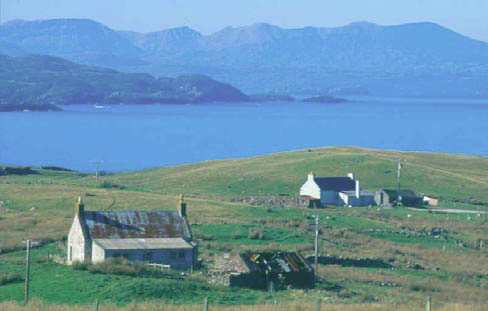
INTRODUCTION On land, the flora and fauna changes with the geology, climate and land use as you move from east to west. Lowland farms, crofts and scattered woodlands dominate the narrow strip of fertile land along the East Coast. In Central Sutherland, shooting and fishing are the main land uses, although some areas have been planted with conifers. Along the North and West Coasts, there are many small crofting settlements.
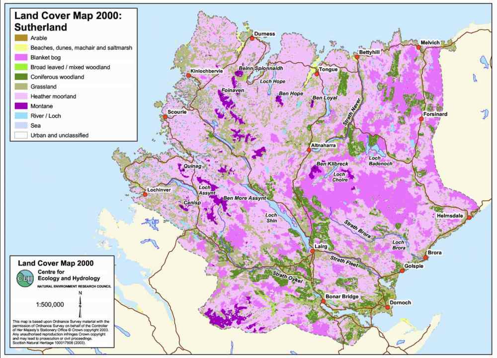
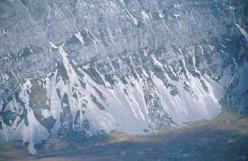
Geology Much of West Sutherland is underlain by the oldest of these rock types, Lewisian gneiss, which has eroded to form a characteristic mosaic of rocks, low hills, small lochs and peaty areas known as ‘knockand-lochan’. The quartzite-capped giants of Foinaven, Arkle, Suilven, Canisp and Quinag rise up as huge sandstone masses of out of this ancient gneiss floor. West Sutherland also has areas of limestone, which weathers to produce unusually fertile soils with their own very specific flora. A narrow outcrop of the Durness limestone runs from the North Coast south through the county, forming the steep crags at Stronchrubie and Knockan. At Inchnadamph you can see limestone pavements, underground water systems and caves. Much of North and Central Sutherland is composed of schists and granulites. The softer schists have weathered to produce vast plains, which over the centuries have been covered in blanket bog. Rising out of this flat landscape are the more resistant rock masses of Ben Hope and Ben Klibreck. The Moine Thrust, running north-south, marks the western edge of this area, providing evidence of immense disturbance of the earth’s crust some 400 million years ago. In East Sutherland there are outcrops of younger, sedimentary rocks associated with Old Red Sandstone laid down when the area formed part of a vast freshwater lake known as Lake Orcadie, during the Devonian period. The “Fallen Stack of Portgower” is, in fact, evidence of a submarine landslide triggered by seismic activity on the Helmsdale Fault. This fault separates the more resistant metamorphic and igneous rocks, which form high ground, from the more fertile coastal plain. In the Brora area there are Jurassic rocks, including a coal seam which was once the basis for Brora’s industrial growth. During the last glaciation, Sutherland was covered in ice and stripped of its vegetation and topsoil. Evidence of this process can be seen in the many corries, which have been gouged out of the hills in the North West, and the glacial till or boulder clay, which was deposited in the valleys. Since then, much of the county has been covered in blanket peat, which influences much of the plant life inland. On the Eastern side of the county, there are many meltwater channels and eskers (valley ridges laid down by rivers underneath the ice).
|