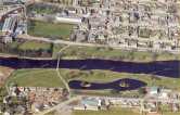
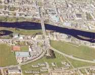
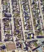
N E W S F E E D S >>>

Thurso From The Air

 Thurso Main Page   

 Thurso College Area Aerial

   A to Z

This aerial view shows the Thurso River and the main road bridge.
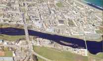
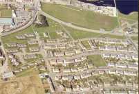
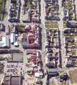
Click the centre picture for a blow up of the whole area.  Click the outer picture for a
bigger version of part of the central picture.

Street Map of Area


Ancient Pictish


Modern Stone


Click the centre picture to blow up this whole area and the one on either side
 for a larger version of one half